
Google Maps is about to open itself up, and potentially help improve local roadways in the process. It could even potentially predict traffic congestion.
How, you might ask? By giving local governments, businesses and developers access to Street View data — letting them analyze roadways and other infrastructure in the process.
According to a new Google blog post, the idea is to combine the Google Maps database with AI and BigQuery, in order to offer more real-world insights.
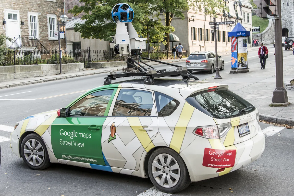
That includes “geospatial analytics” that let the powers that be better detect damaged infrastructure. Street View cameras will identify and determine the condition of things like telephone poles, street signs, roads and bridges. That way telecoms and local governments have a virtual report on what needs doing, and where it’s located.
Of course, that will likely depend on the Street View imagery being kept relatively up to date. The street outside my house is still using images from October 2010. While not much has changed in that time, and it's not a very busy street, those images would be completely useless in this context.
But busier areas, which are updated on Google Maps more often, could benefit from this kind of analysis.
Google Maps could actually predict (and maybe prevent) traffic
This new system also includes Roads Management Insights, which lets road authorities and governments analyze traffic data — aided by Google Maps’ collection of real-time and historical traffic data.
Examples Google mentions include identifying accident prone areas to add new safety measures, as well as the ability to model traffic data and predict potential congestion before it happens.
Places Insights is built for businesses, allowing them to get insights into the surrounding area. That information includes ratings, store hours, parking, wheelchair accessibility and so on.
Implementing the Earth Engine in BigQuery will also allow various organizations to analyze specific areas of interest. Particularly those organizations that don’t have particularly strong remote sensing expertise. Examples include analyzing wildfire risk or monitoring deforestation.
Google is also in the process of tests for “grounding” Gemini-based AI in Google Maps data, aided by Vertex AI. To explain that more simply, it means you can ask AI assistant geographical questions, and the answer will be pulled straight from Google Maps. Which should help you plan your travels a little more efficiently.
Considering how much data Google Maps actually has, it doesn’t make sense to sit on it and do nothing. So if this can help all that data be put to good use, then I am all for it.
More from Tom's Guide

You must confirm your public display name before commenting
Please logout and then login again, you will then be prompted to enter your display name.
